Map Altimeter: Simple Altitude Measurement App
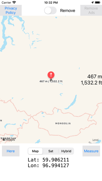
Map Altimeter is a free iPhone app developed by SHIGETO TAKAGI. It is a simple altimeter app that allows users to easily measure the height and altitude in meters or feet of their current location or any specified point on the map. The app also provides latitude and longitude information, making it a handy tool for outdoor activities and navigation.
With Map Altimeter, users can switch between maps and satellite images, offering different perspectives of their location. This feature can be particularly useful for hikers and mountaineers who need accurate elevation confirmation for flood disaster prevention measures or mountain climbing distress measures.
It's worth noting that the app may encounter some inaccuracies in current location measurements due to GPS limitations. However, overall, Map Altimeter provides a straightforward and convenient way to determine altitude and height, making it a useful tool for outdoor enthusiasts and travelers.